
Outdoors
Waypoint
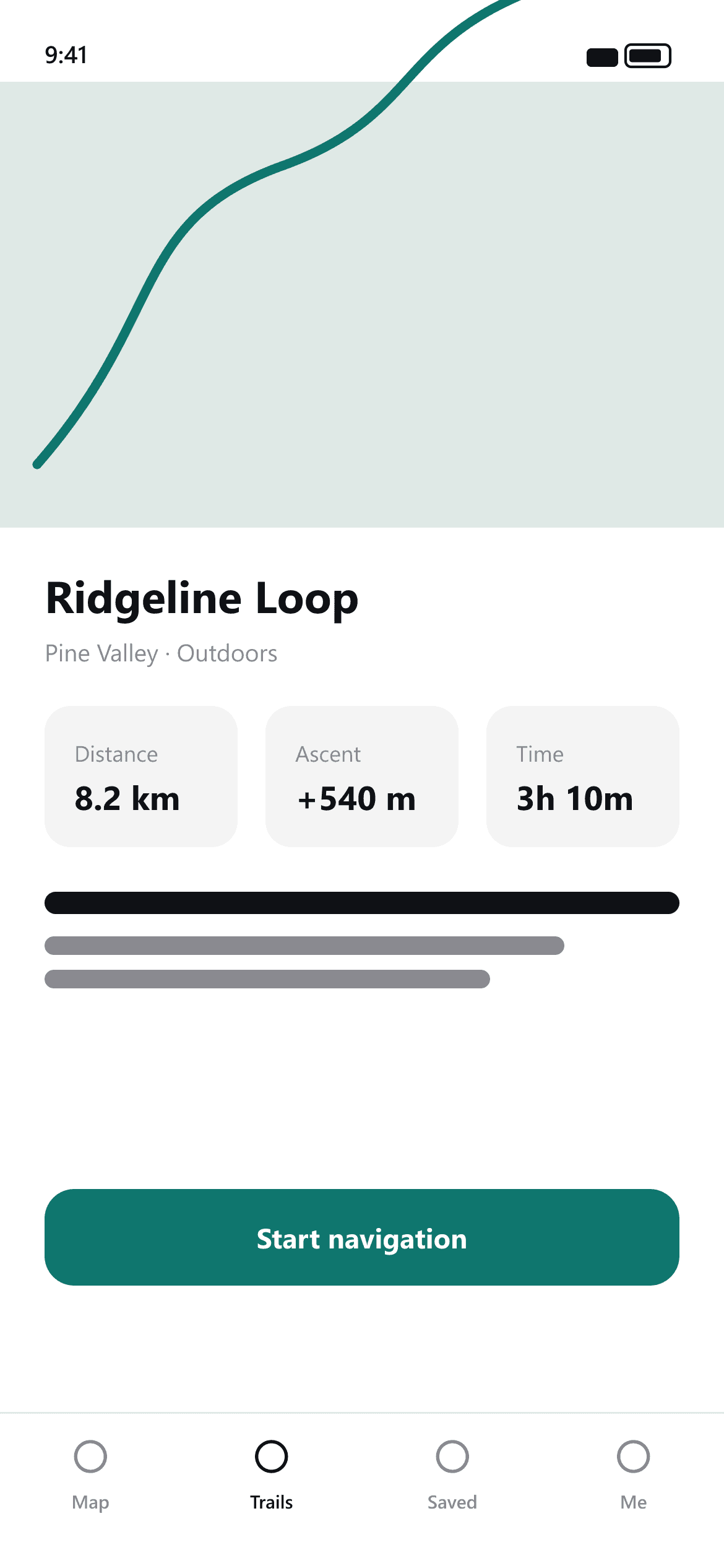
Every trail, ready before you go.
Plan routes, check the climb and navigate offline — without the clutter.


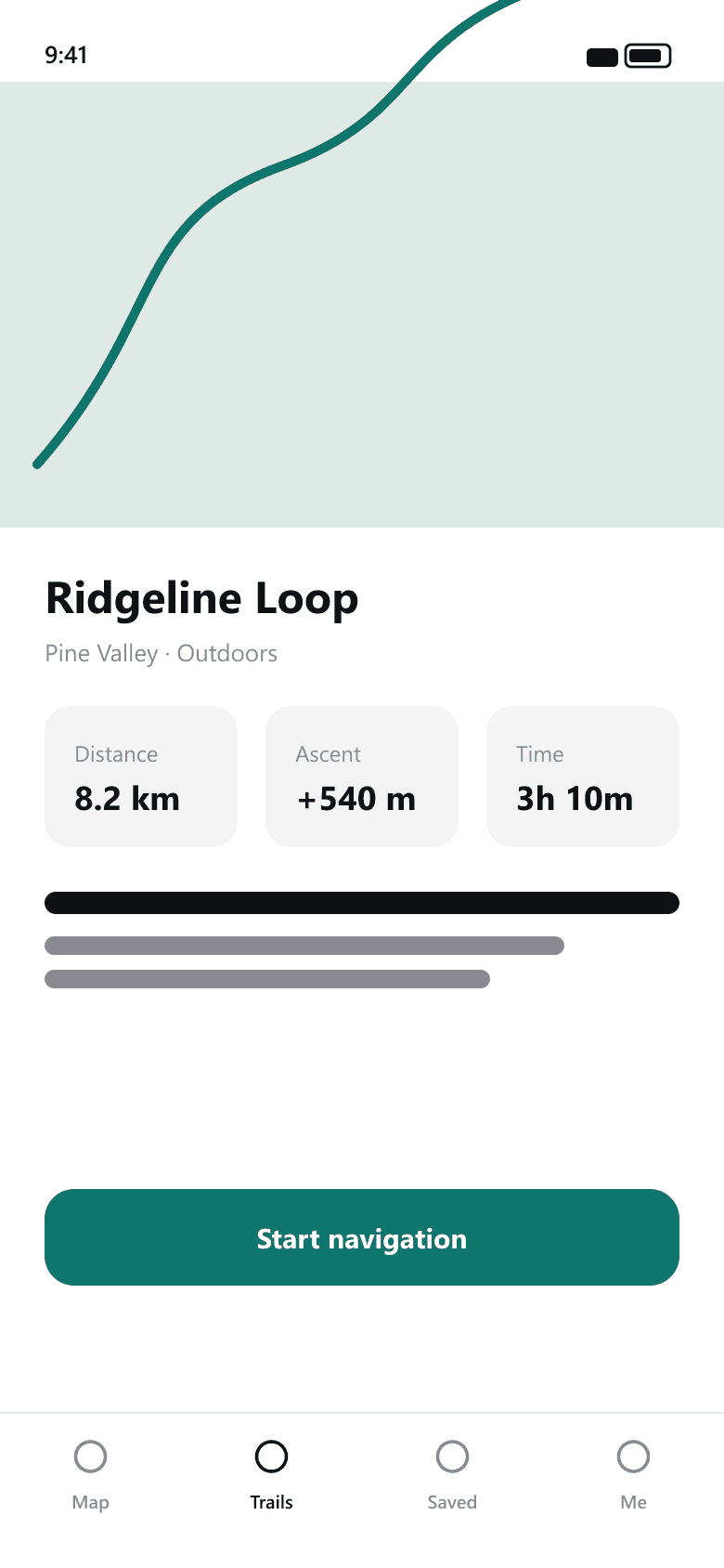
Why Waypoint
Route planning should take a minute, not an evening.
Most outdoor apps bury the map under social feeds, challenges and upsells. Waypoint keeps it to the three things that matter before a walk: the route, the climb and whether it works offline.
Leave the house knowing exactly what you signed up for.
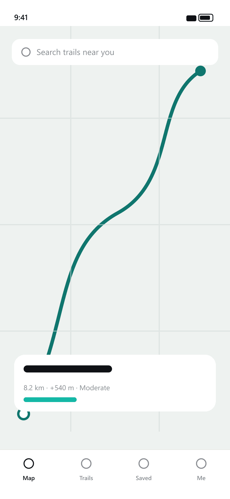
Plan
Draw a route in seconds.
Tap out a path or pick a nearby trail and Waypoint fills in the distance, ascent and rough time straight away.
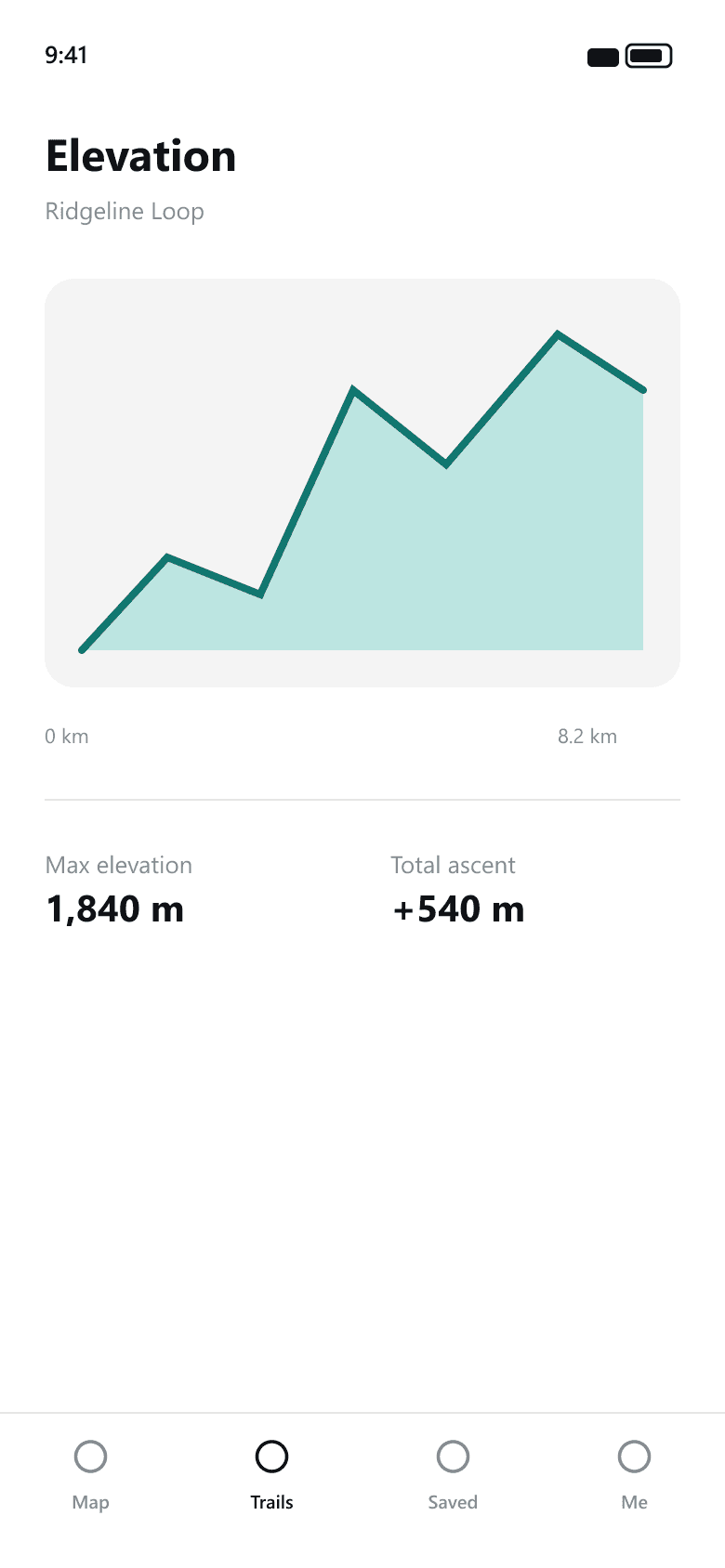
Prepare
See the climb before you commit.
A simple elevation profile shows where the hard parts are, so nothing surprises you halfway up.
Navigate
Works with no signal.
Download a route and follow a clear, offline map — no spinner, no dropouts when the bars disappear.
Screenshots
Every screen, straight from the app.
Details
Offline maps
Download any route and navigate it with no connection.
Elevation profile
See total ascent and where the steep sections are.
Saved routes
Keep the trails you love a tap away.
Distance & time
Realistic estimates based on the terrain, not guesses.
About Waypoint
Waypoint is a route planner for people who would rather be walking than fiddling with an app. Draw a route or pick a trail, see the distance and elevation at a glance, download it for offline, and follow a clean map when you are out. No feeds, no leaderboards.
How Waypoint handles your data
Routes and downloads stay on your device. Location is used only while you are navigating and is never shared.
Frequently asked
Yes. Download a route before you leave and everything — map, distance and elevation — works fully offline.
On your device. If you turn on sync they are also stored in our hosting provider, encrypted in transit.
The planner and offline maps are free. A one-time Pro upgrade adds unlimited downloads.
Get Waypoint
Every trail, ready before you go.